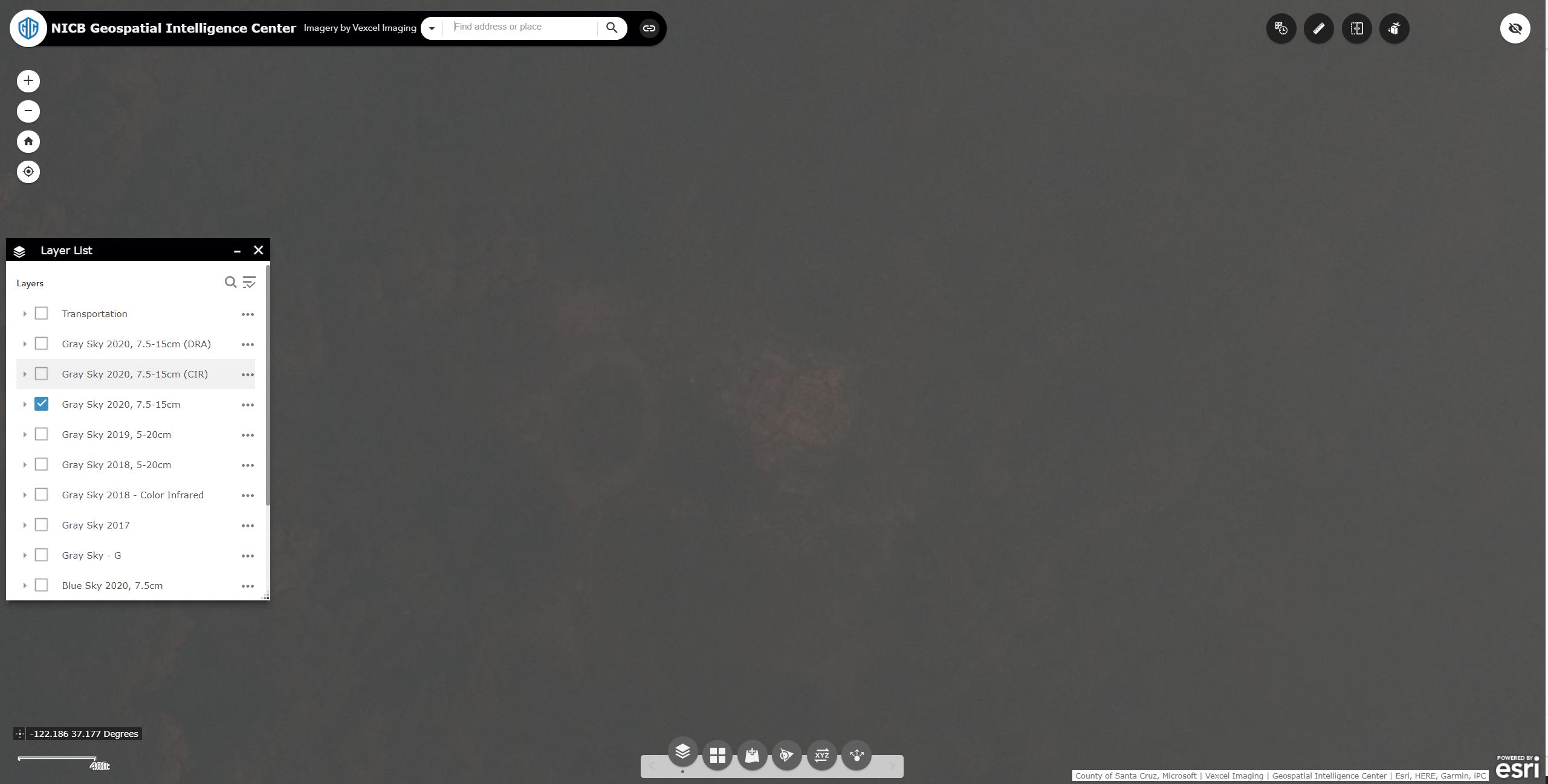
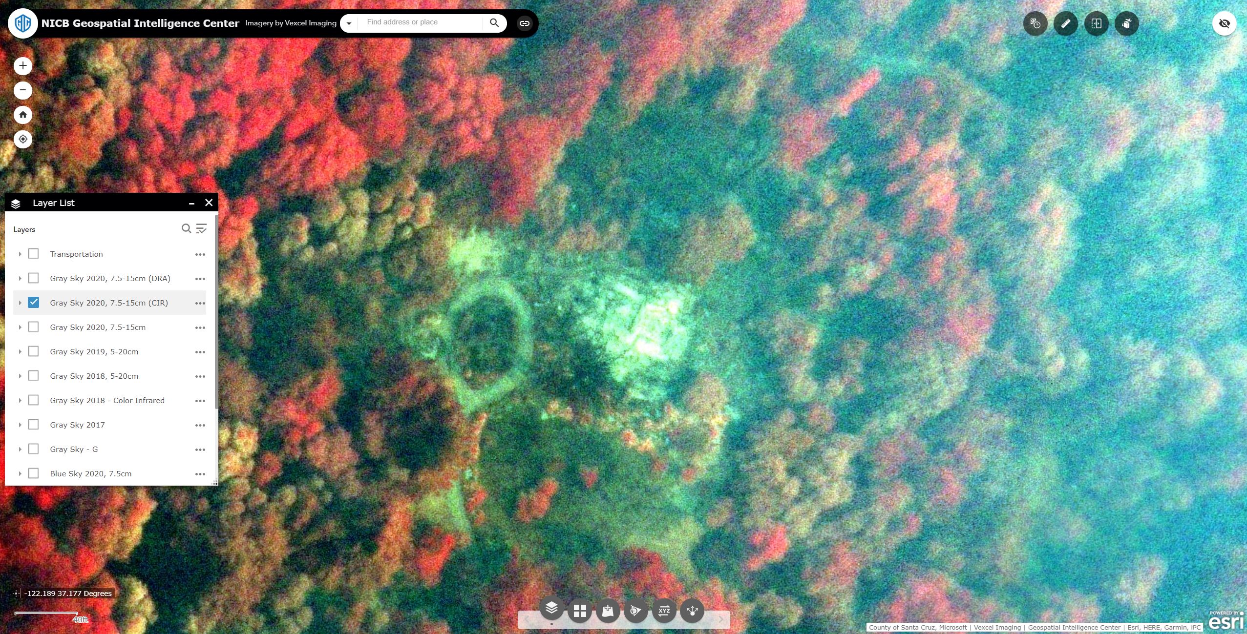
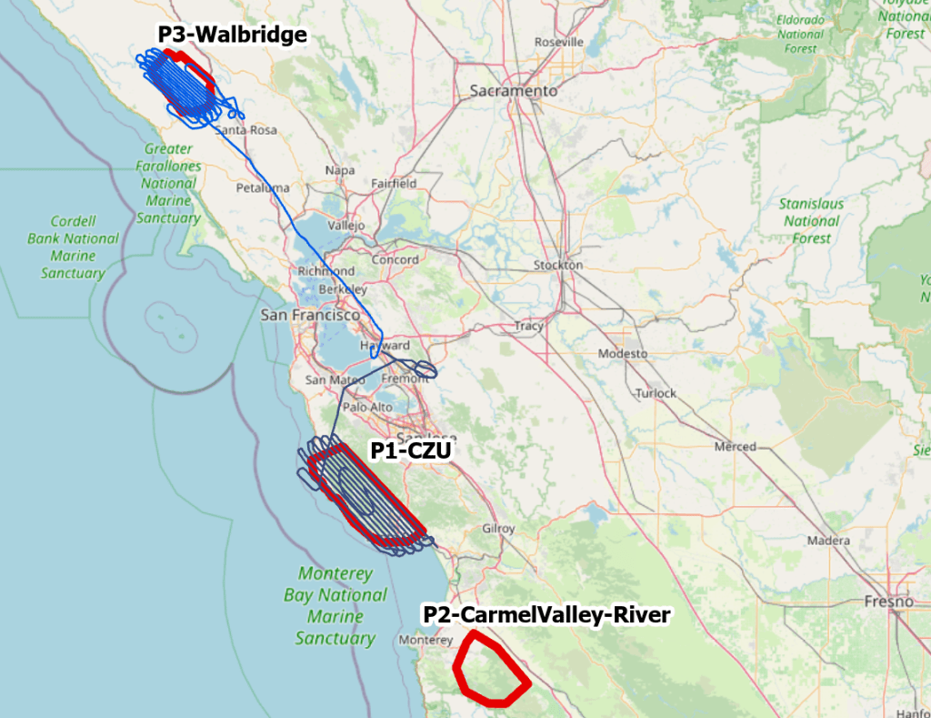
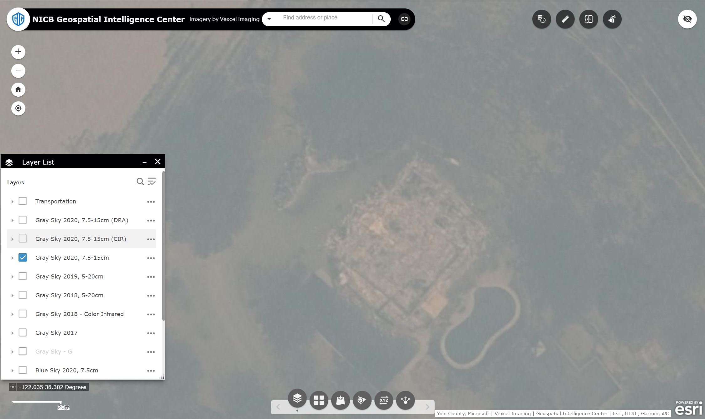
We collected and published thousands of square kilometers of imagery over the California wildfires last week. As is often the case with wildfire imagery, some areas were still in heavy smoke cover when we flew. But because we collect in the near-infrared (NIR) band along with traditional RGB, there is still a great deal of utility in the imagery for understanding damage to structures in the affected areas. Further, with some dynamic range processing, it is also possible to see a lot of detail that would otherwise be lost in the smoke. Both of these image types are available as distinct layers in our Esri based web viewer.
The image featured at the top of this post is an example of NIR imagery providing a good amount of detail for a property that would otherwise be nearly completely occluded with smoke. The same property is shown here in its original state, side by side with the version after dynamic range processing.

Here is another example with a heavier layer of smoke, along with the same near-infrared image. Although the NiR image may not look like a traditional RGB image you are used to, the information gleaned from it can help first responders make faster, more informed decisions in planning and logistics.