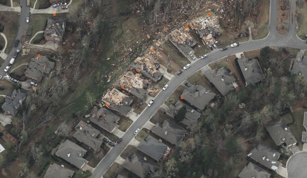
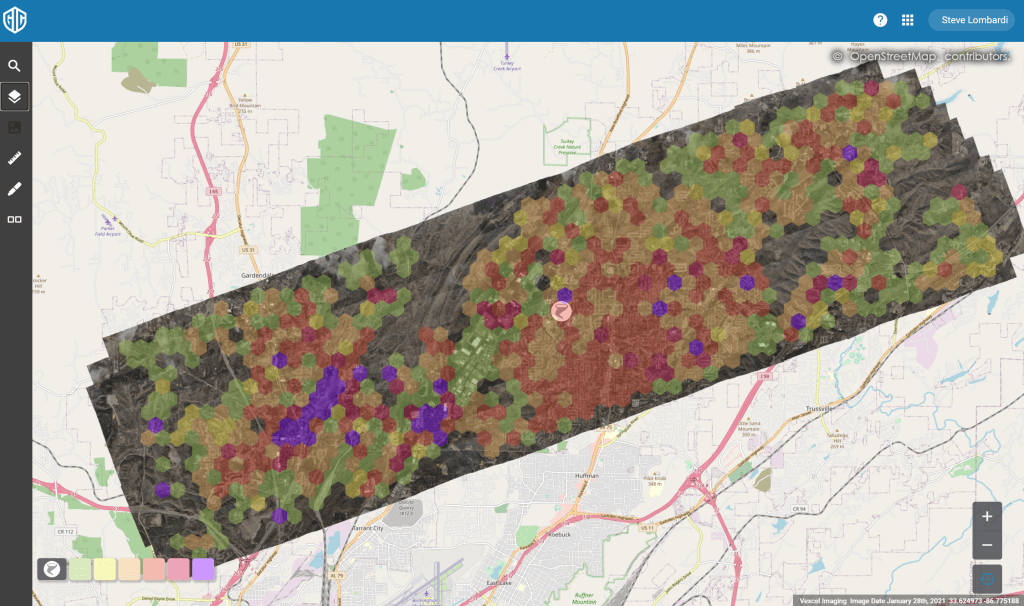
The GIC collected imagery over the tornados that struck Alabama and Georgia this week, and it is now published to our platform. Our web app also has a damage heat map for the regions we have flown that helps spot the worst hit areas. [read more on the heatmap here] You can also import your own property locations with the data import feature to visualize your properties of interest over the imagery and heat map [tutorial on data import]

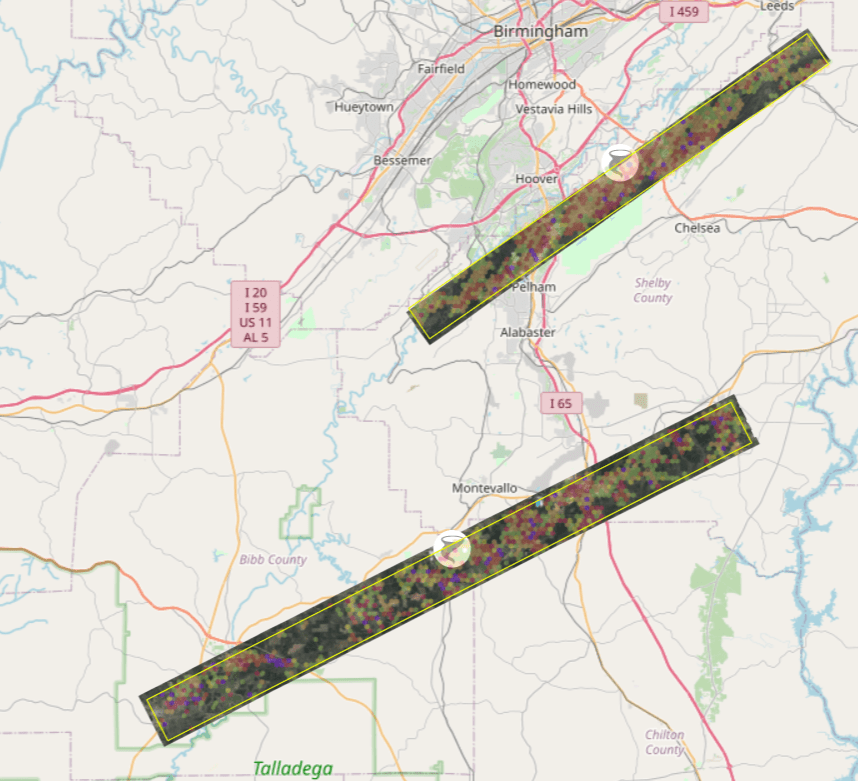
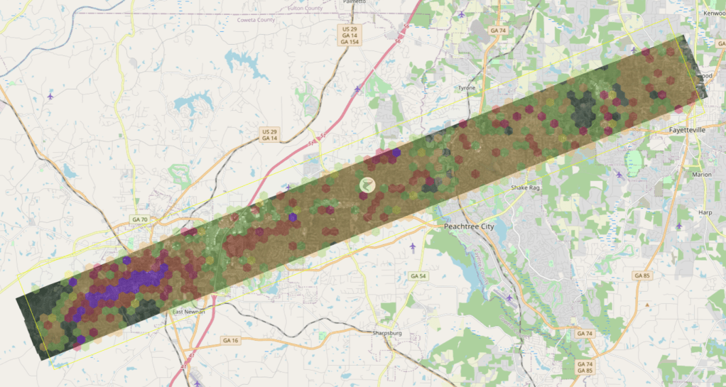
Here are the regions we flew, with coverage maps below. If your organization needs access to our web app, drop an email to support@gic.org with your request.
Brent/Centreville/Calera – Bibb, Chilton, and Shelby Counties, Alabama
An Eagle sensor was used for this tornado collecting nadir images.
Helena/Pelham/Meadowbrook – Shelby County, Alabama
An Osprey sensor was used for this tornado collecting nadir and oblique images.
Newnan/Peachtree City – Coweta and Fayette Counties, Georgia
An Eagle sensor was used for this tornado collecting nadir images.


