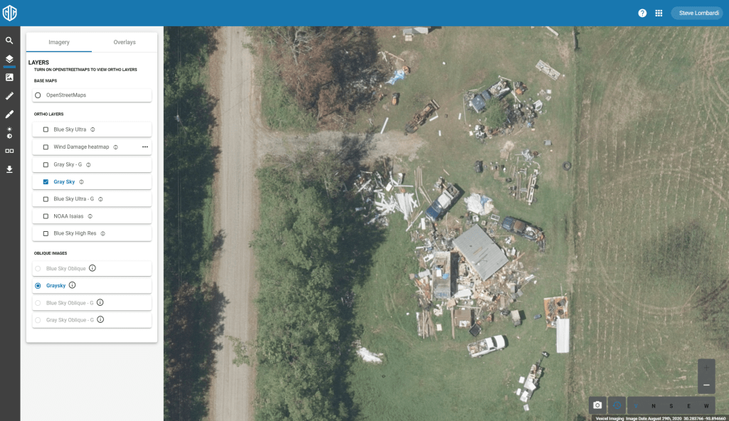
The GIC’s collection of Hurricane Laura imagery is complete with all data now available on our platform. In total, over 22,000 square kilometers of imagery were collected over three days beginning August 27th, utilizing 11 fixed wing aircraft in the effort. We had 9 planes in the air simultaneously at one point over the collection window, our largest catastrophe response since Hurricane Michael in October 2018.
At the GIC we understand how critical it is to have imagery in the hands of first responders and our Insurance industry customers quickly, which is why we feature a 24 hour response time; from when our planes land, we target having the imagery live on our platform within 24 hours. I’m very proud to say that our team delivered the first round of imagery in 14 hours!
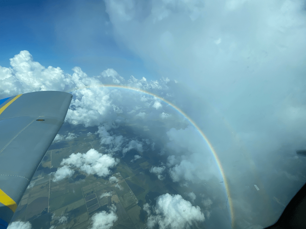
So much work goes on behind the scenes to make the end product of the images like you see in this post possible; aircraft maintenance, camera tuning, flight planning, data transport and processing, platform readiness… not to mention the continuous battle with the weather and the challenges due to covid-19. I can only imagine that its not a fun ride piloting through the levels of turbulence at low altitude that our pilots deal with for an event like this. Kudos to the women and men working from end to end to deliver the pixels!
Imagery available for this event includes 3,800 sq kilometers of 7.5cm resolution imagery over the hardest hit areas including Lake Charles, as well as 20,000 square km of 20 cm coverage. Much of the 7.5 cm area includes obliques as well as nadir.